Three Pass (Browning Pass) Route
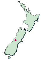 Three Pass Route is known as Browning Pass Route. It is the history highway used as across the Alps route which connects the east and west in South Island once.
Three Pass Route is a very hard route. It goes to near Hokitika from this side of Arthurs Pass across three passes as the name.
It was used for the gold rush time as the shortest route which connect its east and west. However, when I actually walked, it was a serious, very steep distance.
I walked in three nights and four days. I walked along no less than 9 hours on the 2nd day and the 3rd. Those who do not have confidence in physical strength may need to camp on the way and need more days.
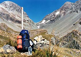
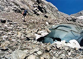
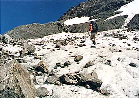
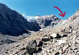
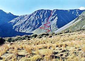
Almost all part is unmarked Route, you walks along a topographical map to reliance. Whitehorn Pass is covered with perpetual snow even summer. The 3rd, Browning Pass is very steep like a Cliff. There are very few people who walk now.
